Started the Hayduke in Arches at the end of the day with 4 other friends.
Strange to see mountains in the background of a red desert. The La Sal mountains.
Marching Men in Arches.
Dusk on the first night, we found a free campsite just outside the National Park.
The Hayduke route takes us through the less traveled parts of Arches, and it was rare to see another person.
Water carvings
3 of my friends just came out to hike Arches, after that it was down to fellow hiker Fitty Shrimp and I.
We were told about a very cool place outside of Moab called Base Camp Adventure Lodge. The owner, Tom is very hospitable to Haydukers and he even has a tortoise!
Leaving Moab, the La Sal mountains can be seen behind you for a week as you walk away.
I picked a bad time to start the trail. It was Jeep week in Moab and there were thousands of Jeeps kicking up dust around us.
Arches was pleasant hiking, the first couple days outside of Moab were road walking, but then we were finally introduced to some real remote desert hiking. This is where the Hayduke trail begins to take on it's true personality.
Bones have nowhere to go in the desert.
Temperatures fluctuate dramatically from night to day and a fire at night is greatly appreciated.
Feeling a bit like ancient man.
Canyonlands, Needles District.
After 100 miles on the Hayduke, my partner realized this wasn't the kind of hiking he was looking for. His fear of heights made the sketchy canyon descents even more dangerous. He chose to leave the trail and I don't blame him but I would miss him. Luckily I do enjoy solitude too.
This arch was un-named until the creators of the Hayduke discovered it while scouting the trail. Seldom Seen Bridge.
Dark Canyon, hard to get in and out of but it was well worth it.
Tall skinny spire before the Dirty Devil River.
View while walking into Hite, a tiny outpost that used to offer a place to resupply but the store was shut down while I was there. That meant another few days of hiking from here and hitching a ride into Hanksville.
The red benches are a very hot and dry area that is hard to navigate. An old cowboy trail winds through here and it is sometime marked by these huge cairns, but they can be misleading because the Hayduke does not follow these cairns.
Crossing the Colorado river, with the Henry Mountains in the background. I'll be climbing over those in a few days.
Some Hayduke hikers will cache food along the trail because towns are often far away and hard to get to. I chose not to so I had to hitch hike into town whenever I could. After a much needed break in Hanksville I started out on another 100 mile section.
On top of Mt. Ellen, in the Henry Mountains. It's over 11,000 feet in elevation and surreal to look down on a red rock desert below.
Last remaining snow in the Henry's. There would be more in about a week though. When a snowstorm blew through and I could see the snow-capped mountains behind me.
Halfway down from the peak, Mt. Ellen.
The budding trees were the only thing that reminded me it wasn't summer, it was spring.
Juniper wood
Climbing up the Burr Trail in Capitol Reef Naitonal Park and looking way back at the Henry Mountains.
The Waterpocket Fold.
Upper Mulley Twist.
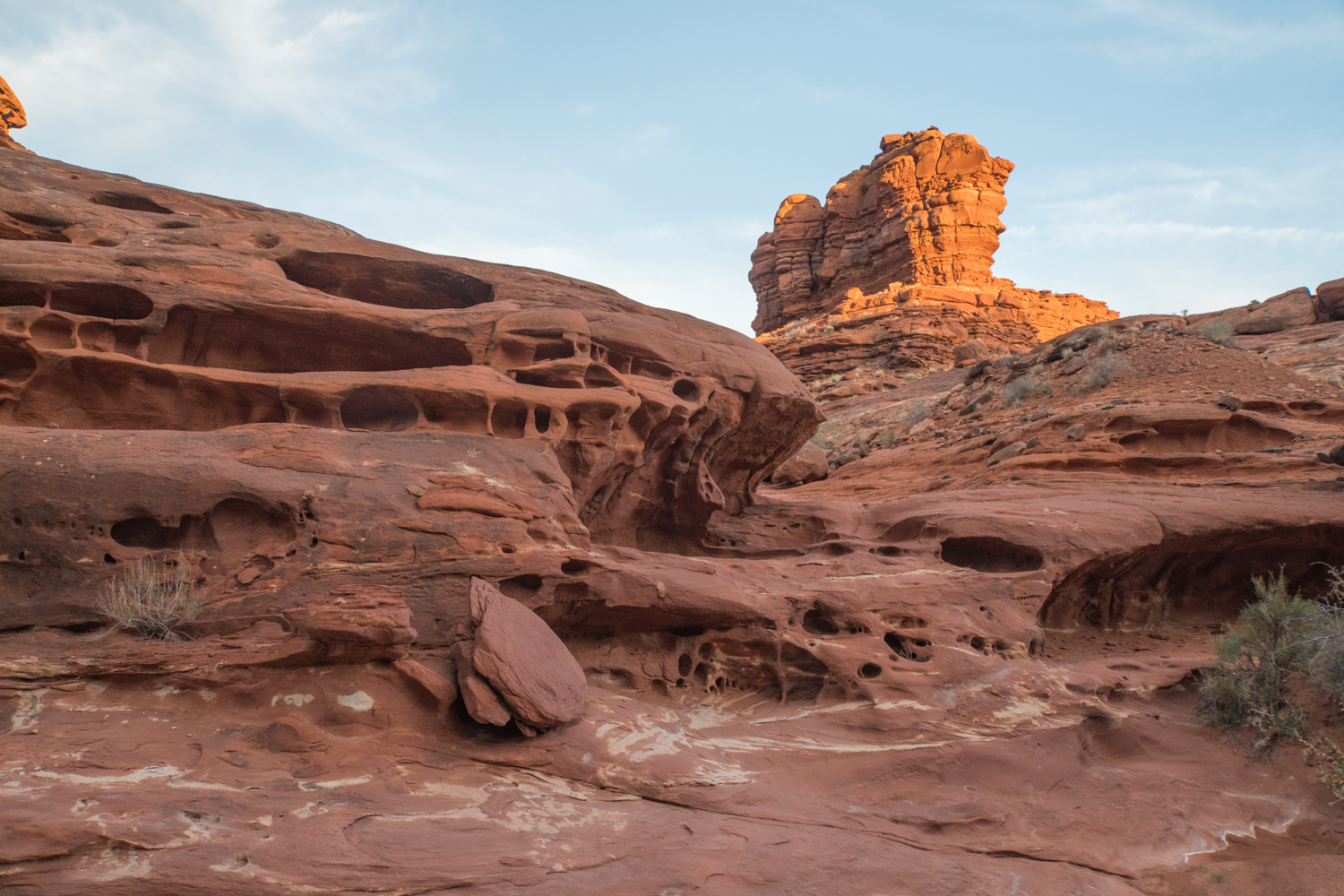
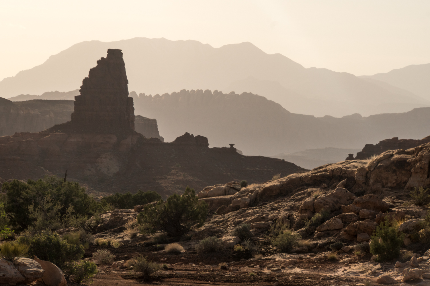
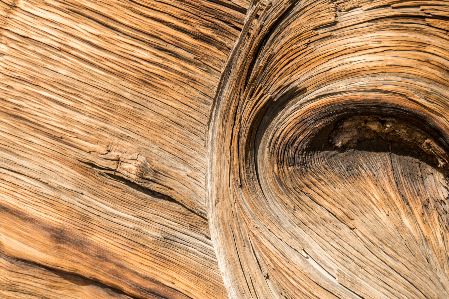
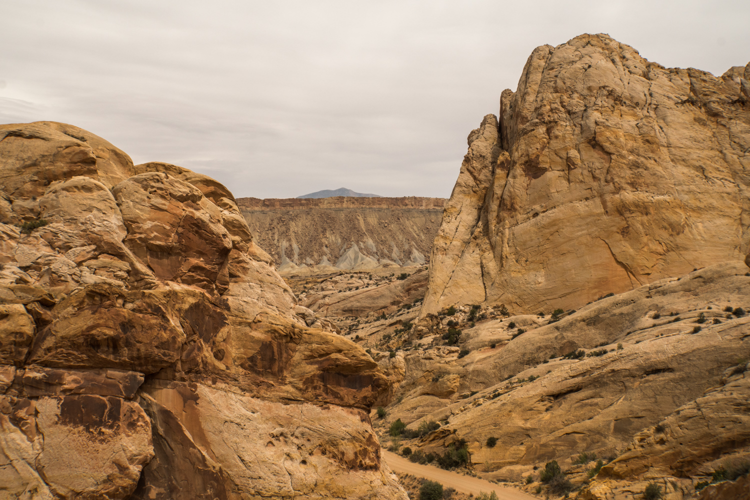
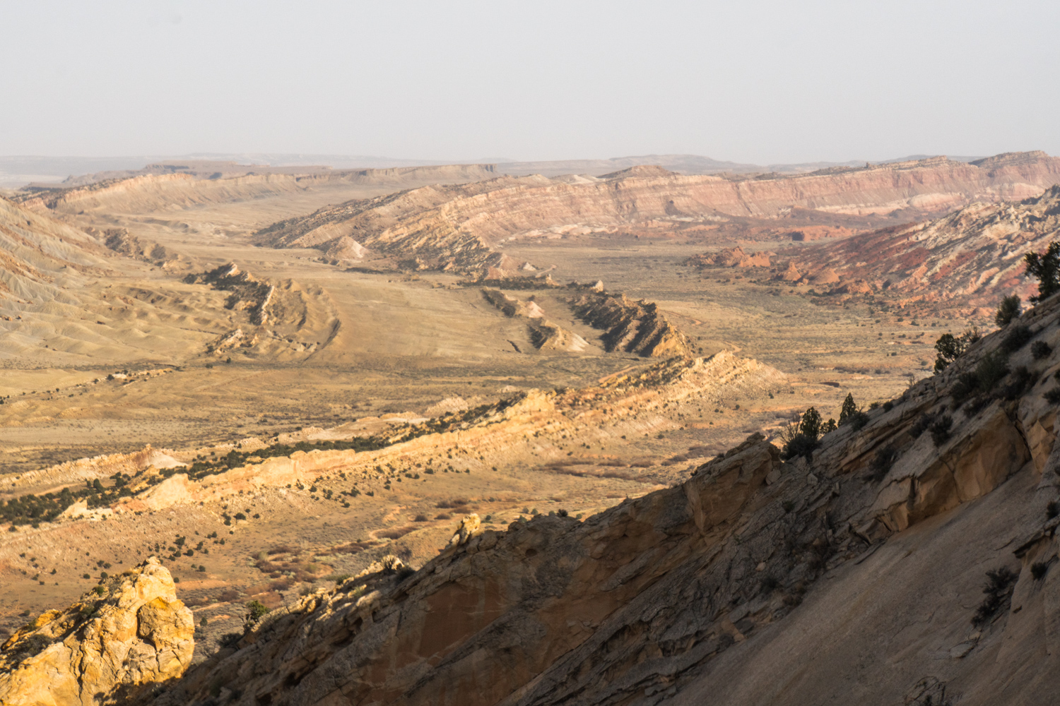
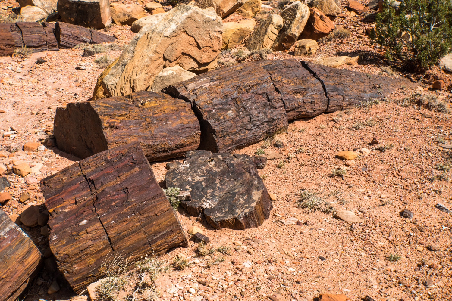
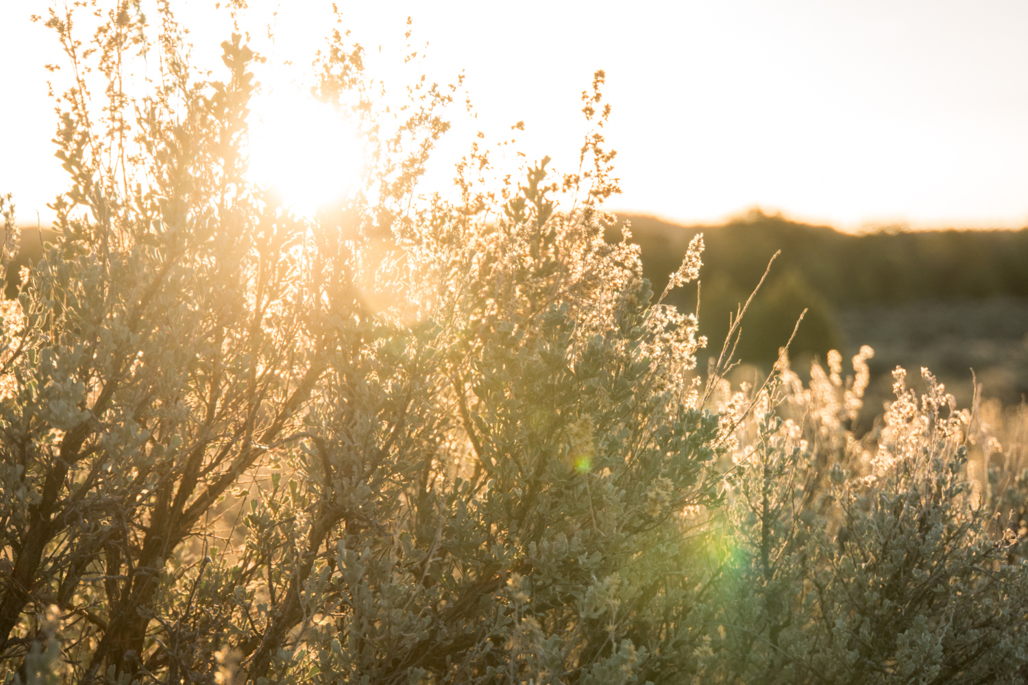
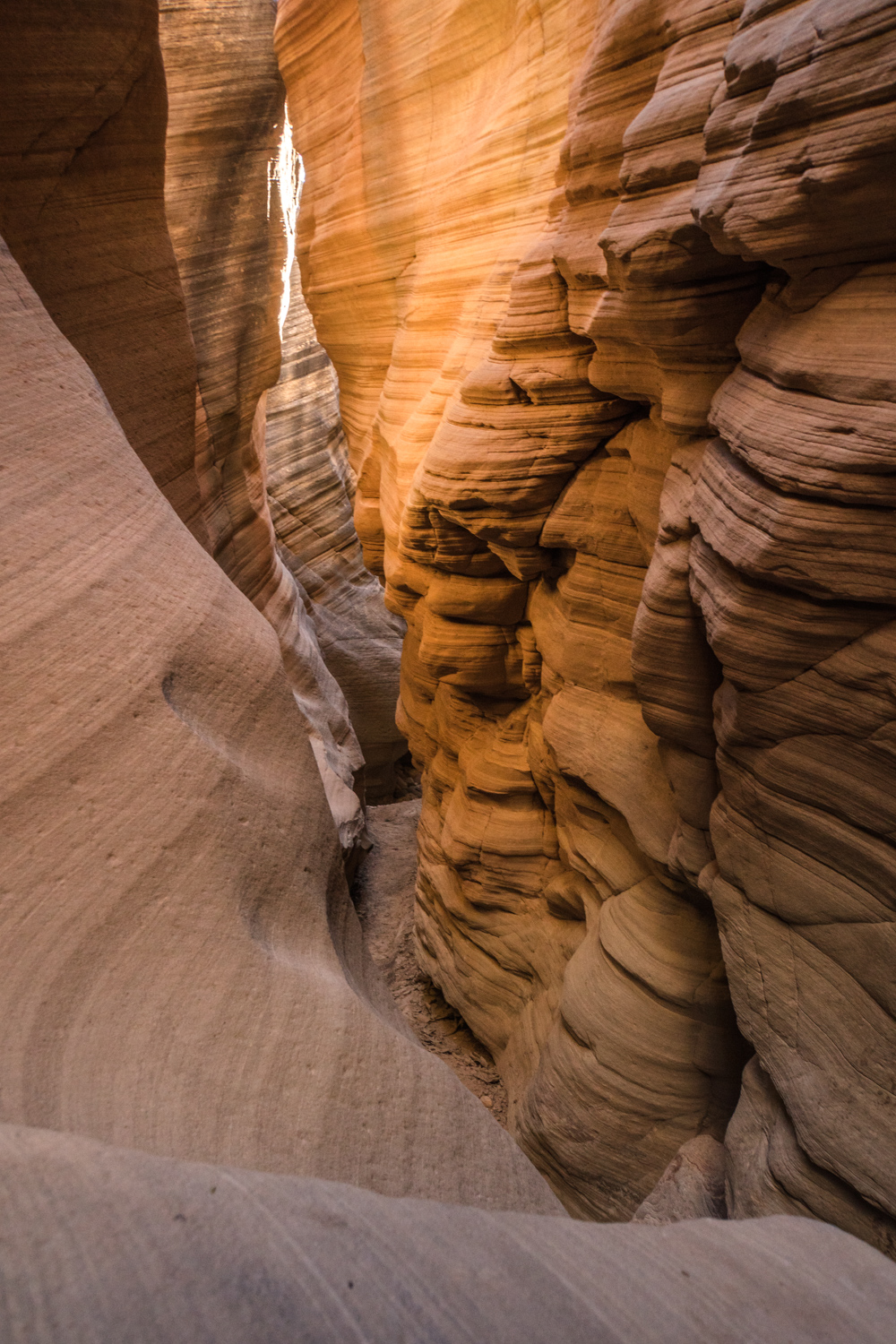
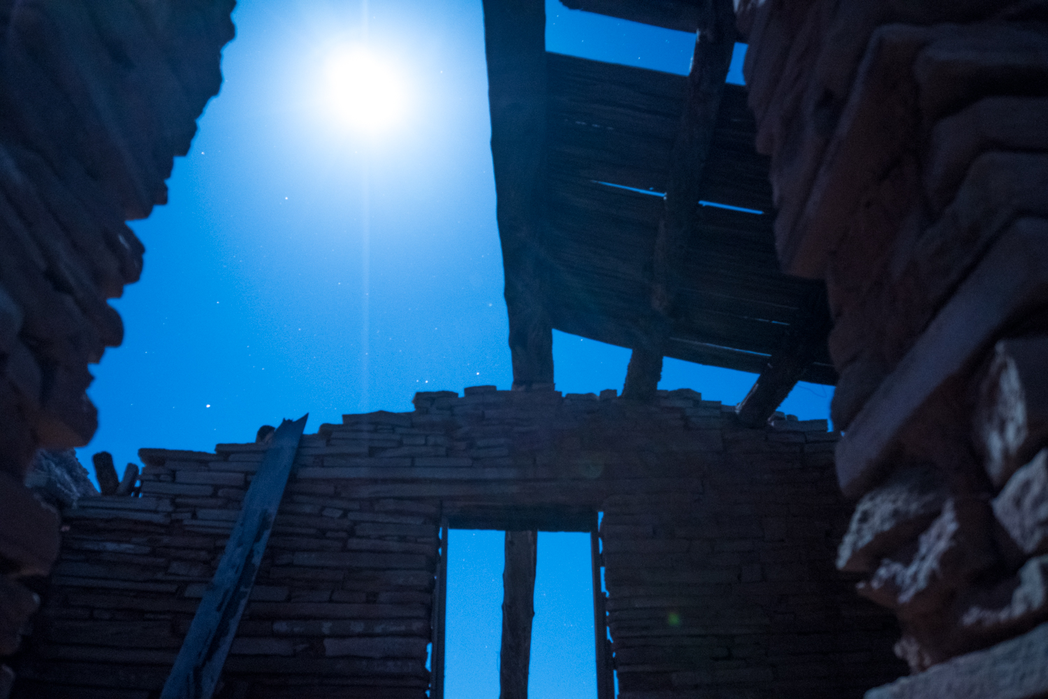
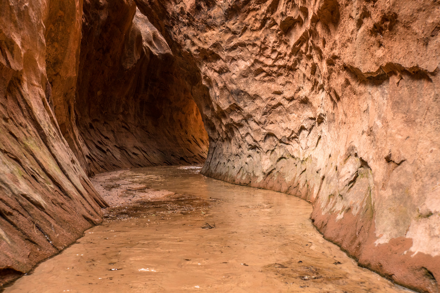
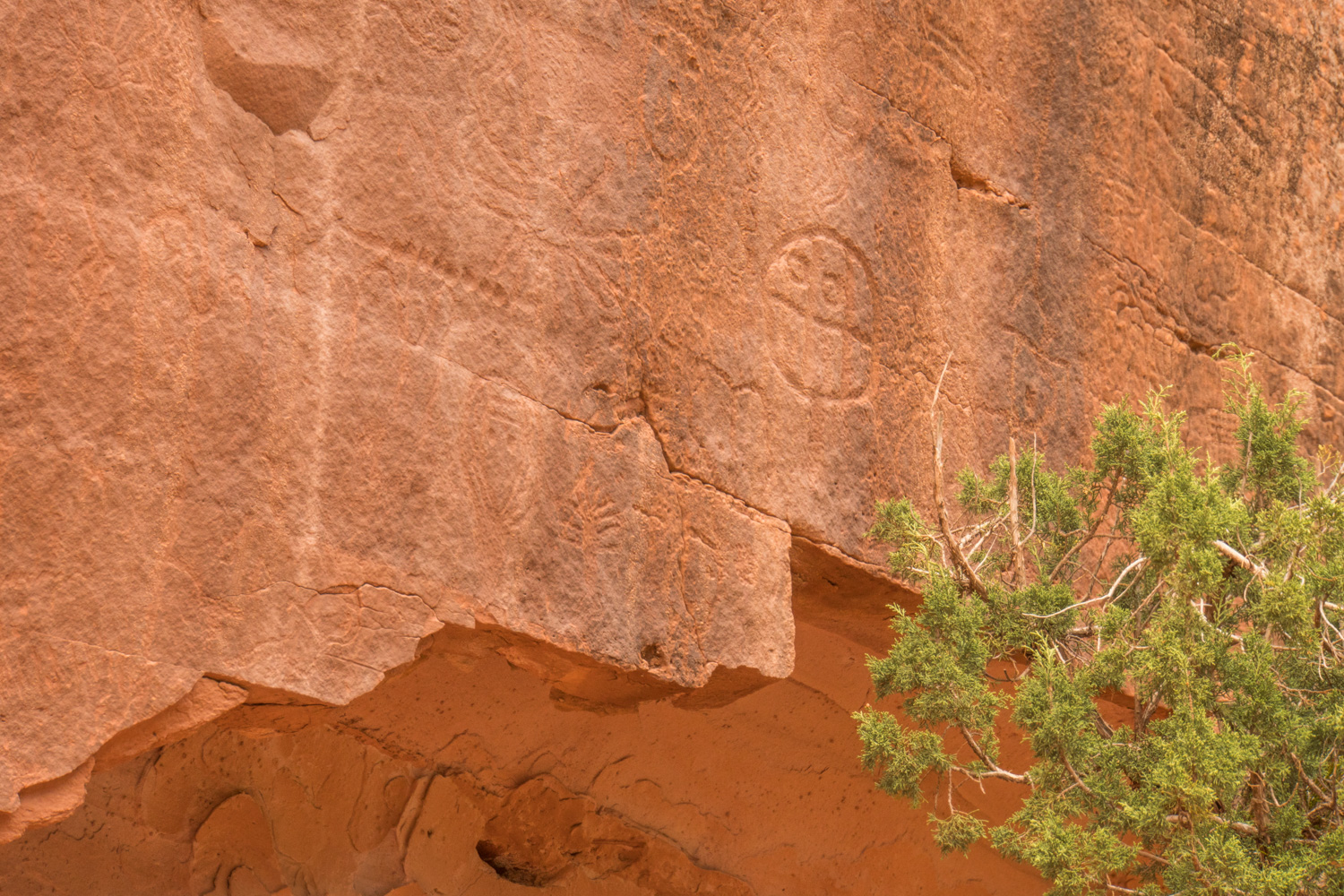
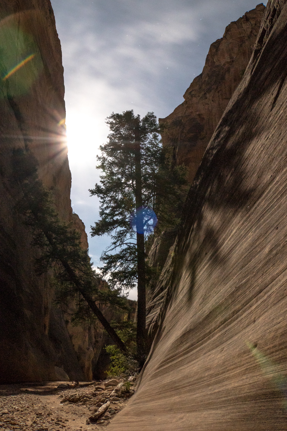
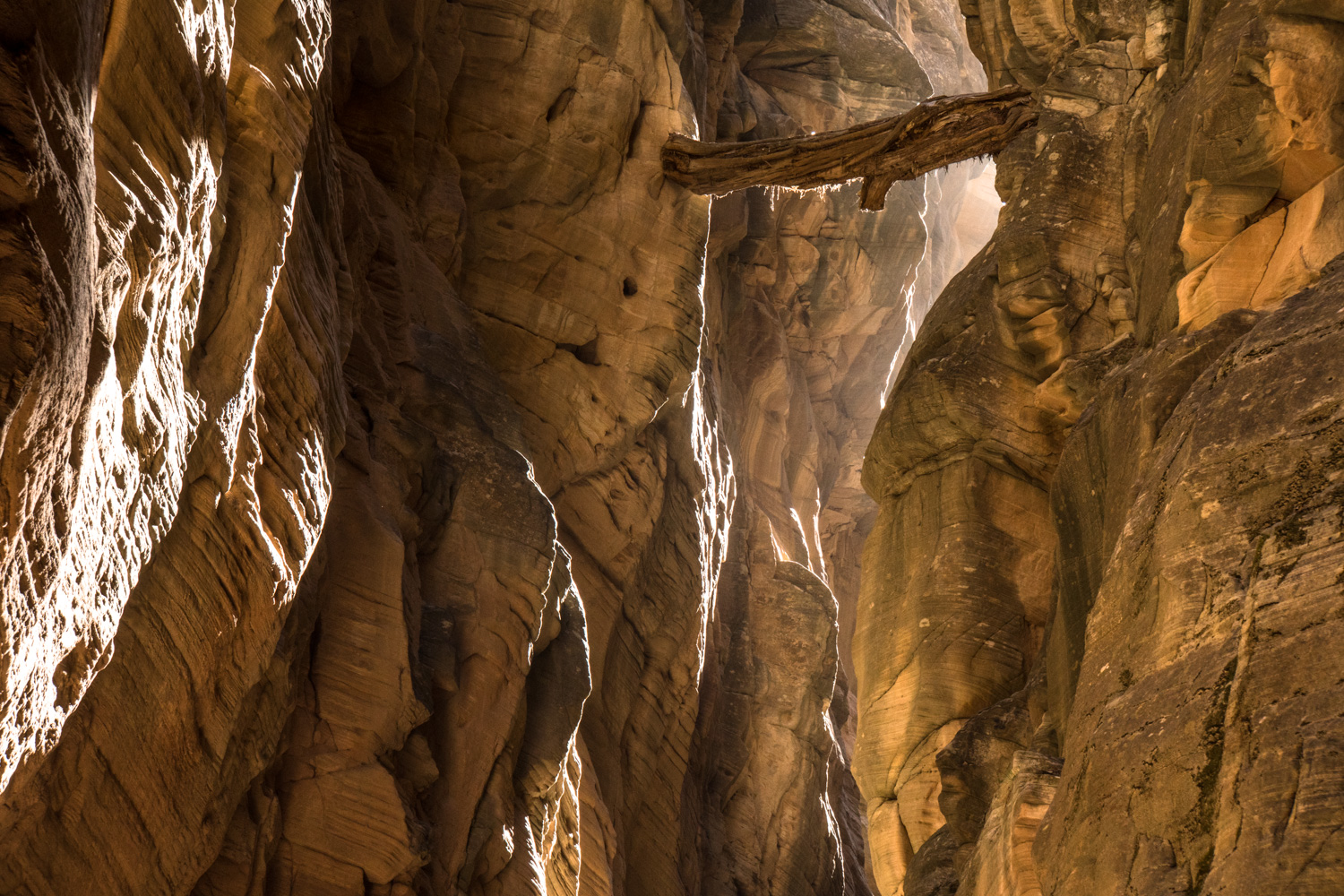
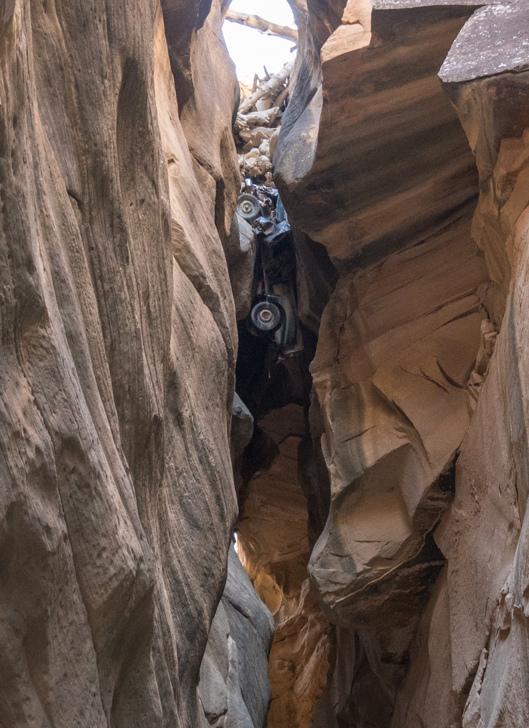
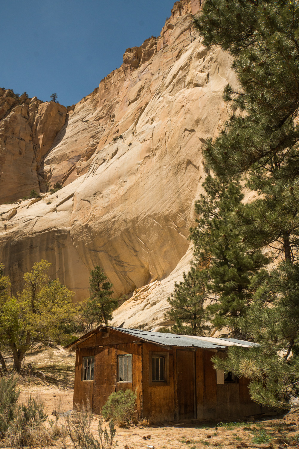
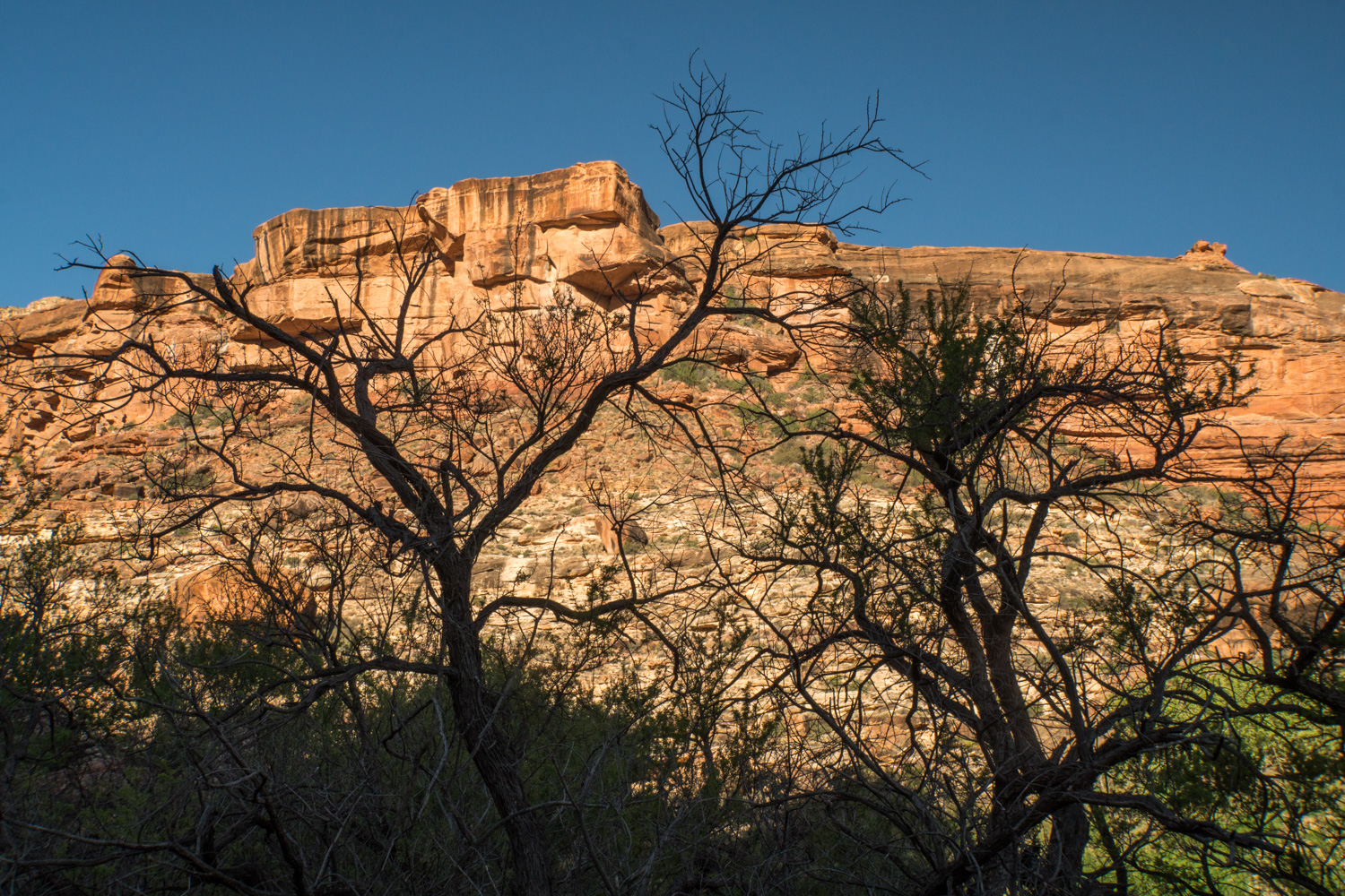
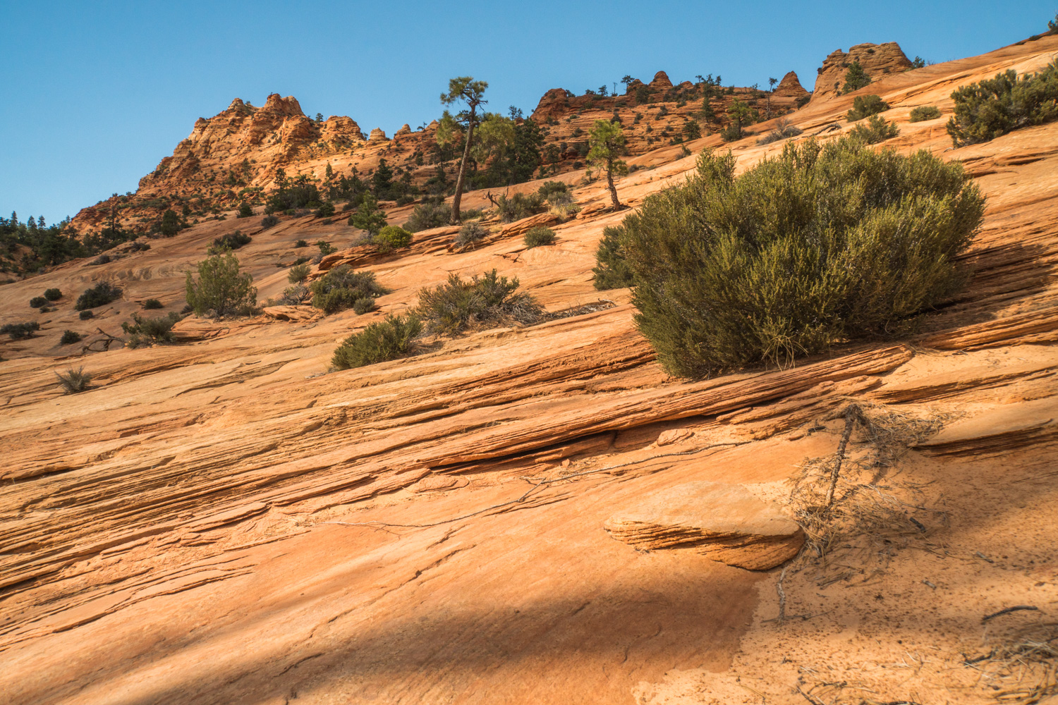
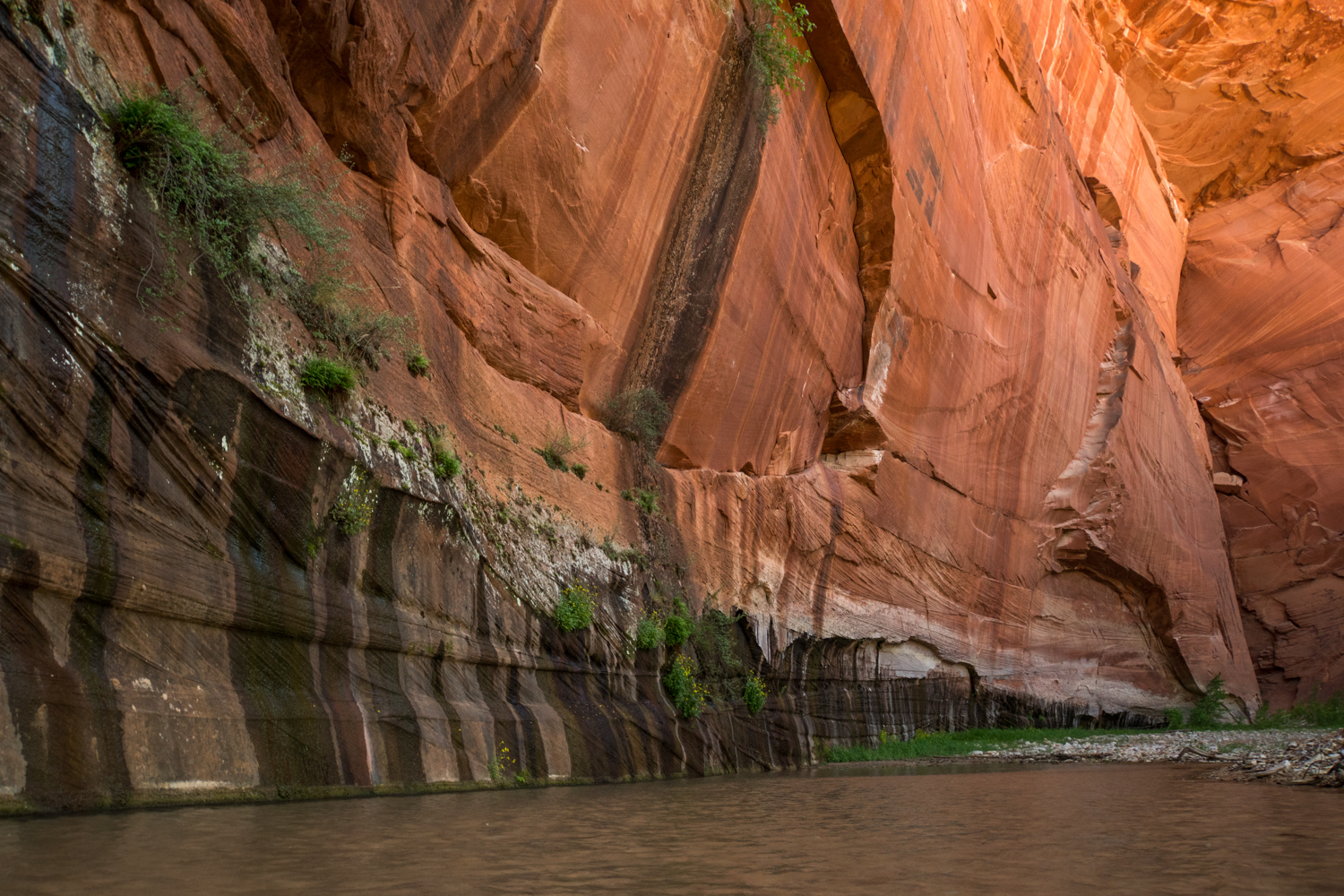
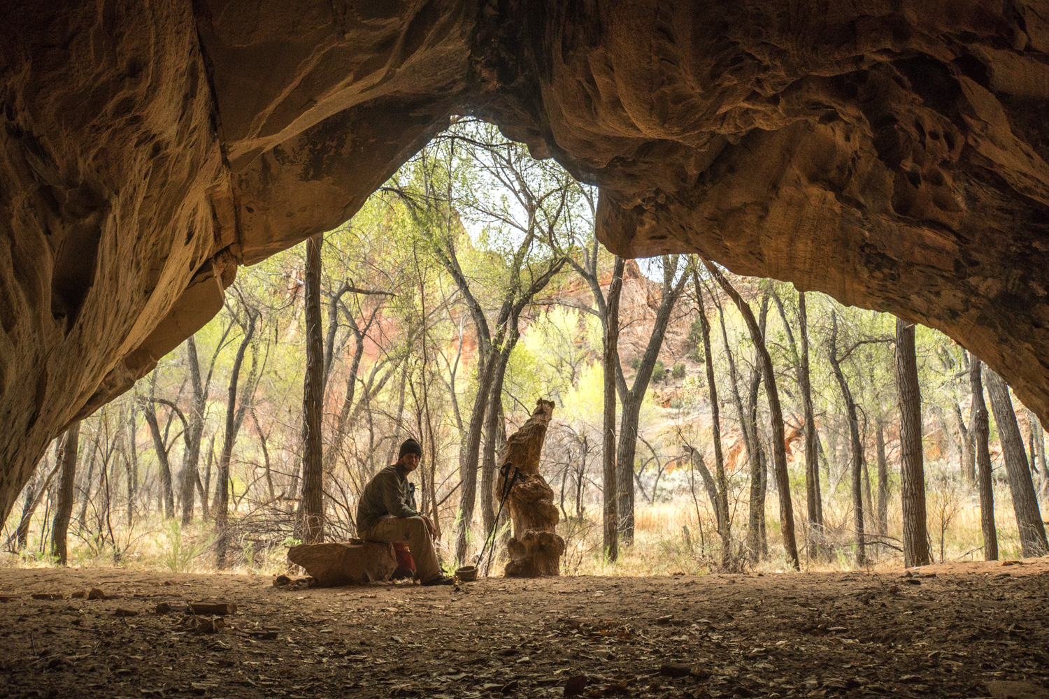
Leaving Capitol Reef there are a bunch of different alternate routes you can take. Since I had to get into Escalante to resupply and the original route requires a 30 mile hitch hike, I chose an alternate route that would allow me to walk right into town. It ended up being about 10 miles shorter but I really enjoyed the alternate route. The mouth of Egg Canyon was littered with petrified trees.
It was not uncommon to not see a single person for 3 days. You become well acquainted with your shadow.
So much of what I found out here was almost un-explainable. This was hard as rock and seemed to be some natural metal ore.
Scattered boulders with seemingly no explanation for why they are here.
Either there is nearly no water to be found or I am walking by a river for the whole day. This day I followed the Escalante river all day into town.
Out with the old
Petrified ripples in the sand. I never found any, but apparently you can find dinosaur tracks in rock like this.
End of a long and lonely day.
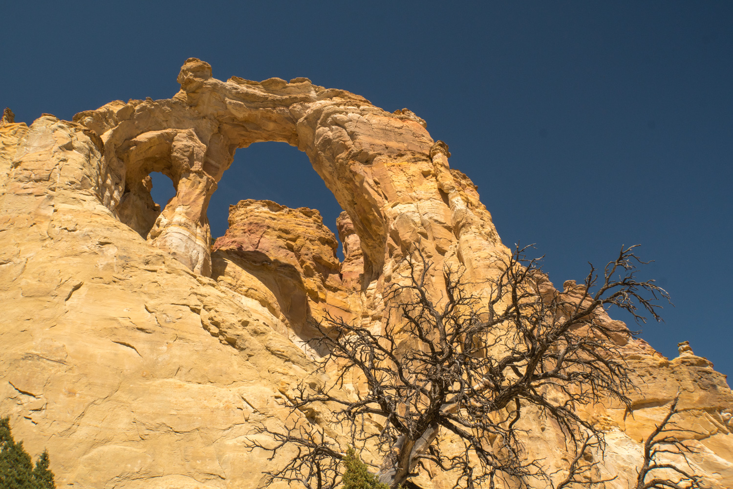
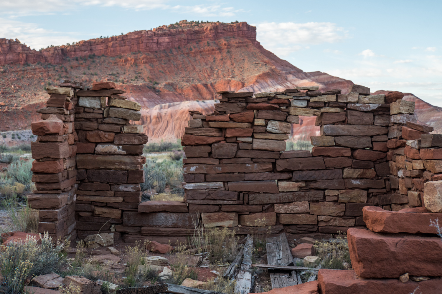
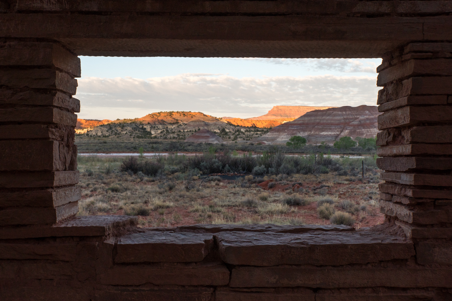
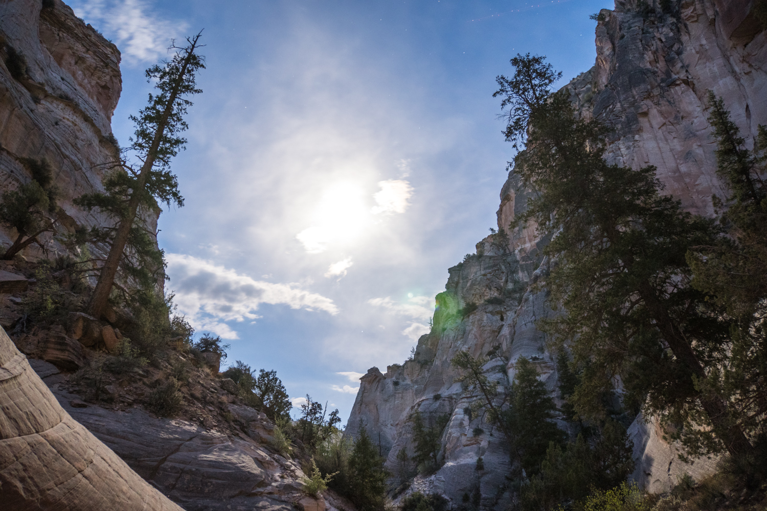
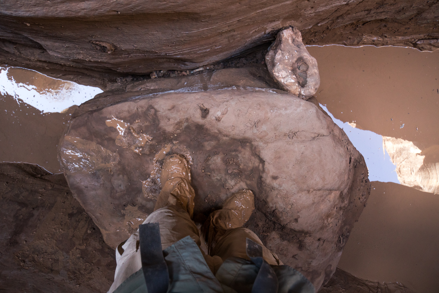
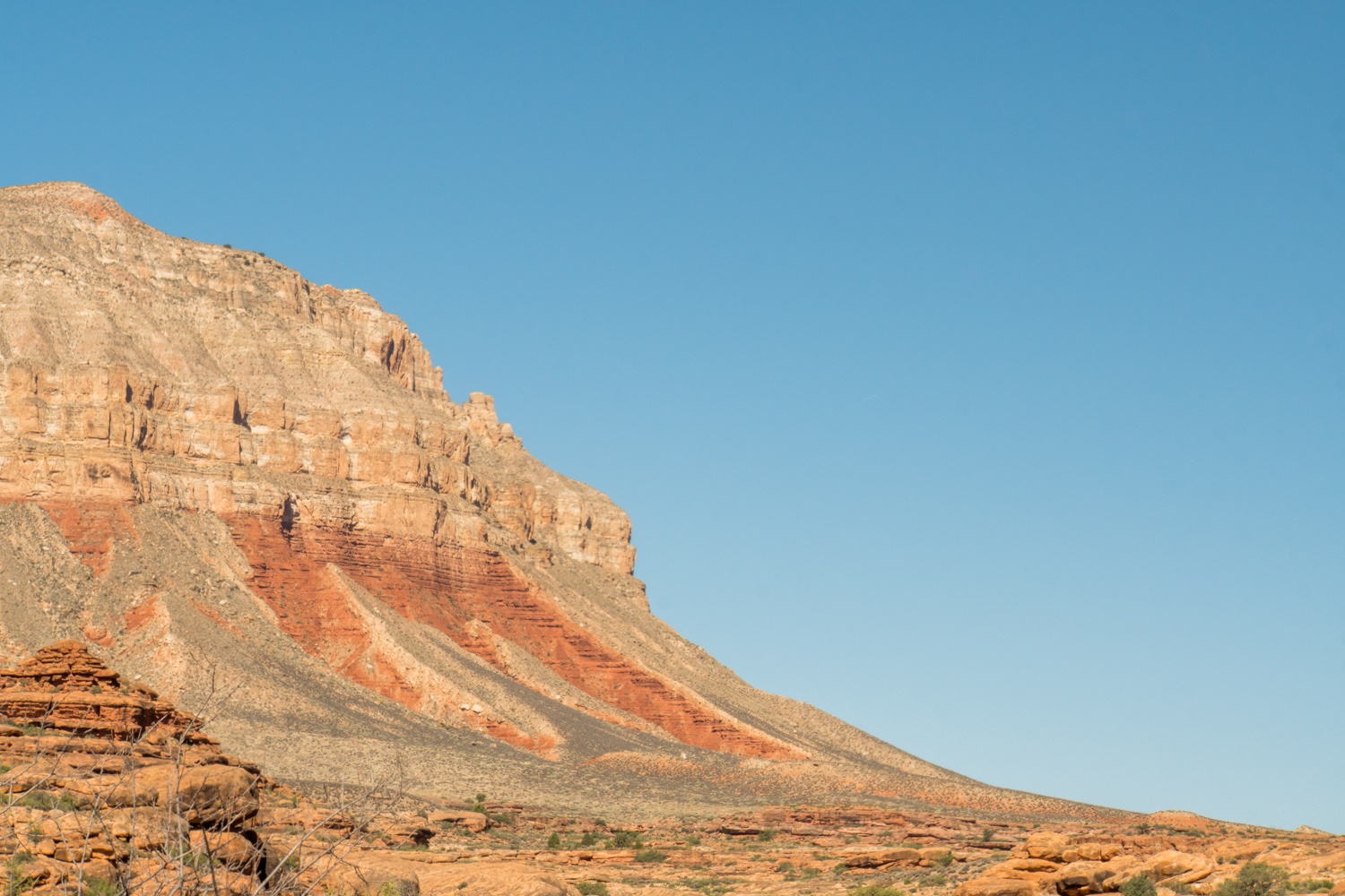
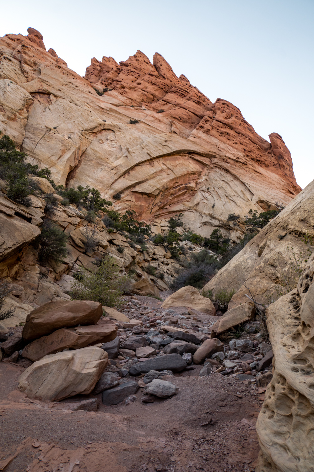
Grosvenor Arch. There was a long dry section around here and it had been a day and a half since I last filled up on water. The water source that was supposed to be around the arch was dry and I walked an extra 3 miles in search of more water. Luckily there is a road going to the arch and there were a surprising amount of tourists there with plenty of clean, cold water.
A whole day of road walking to get out of the way. But the Hayduke must have the most scenic road walking of any thru-hike.
Round Valley Draw. These slot canyons are my favorite part of the Hayduke.
An old Mormon settlement on the Pahreah River.
The Mormon settlers woke up to this every morning.
A good place to camp.
A little side trip off the Pahreah river to find this slot canyon. The Asay Slot had a thin layer of water running through it, which caused a lot of quicksand.
Many petroglyph sites can be found along the Hayduke, but it's hard to know where to look.
I took an alternate route through the Bull Valley Gorge and spent some time exploring it at night.
The fresh bear prints made exploring the Bull Valley Gorge at night and by myself a little eerie.
At the end of the Bull Valley Gorge is the biggest slot canyon I found on the whole Hayduke.
I spent all morning and early afternoon traveling through this slot.
A 1950's car stuck in the top of the slot canyon. Then they built a road on top of it.
The Bull Valley Gorge slot was my favorite slot but I definitely paid for it. Nearly waist deep mud pits with very slippery and tall pour off to climb over.
I met up with another hiker named #2 and we waited out the bad weather over Bryce Canyon in the town of Tropic for 5 days. It was way too long to spend in town but we didn't want to rush through Bryce Canyon when it was snowing. This is called Thor's Hammer.
Bryce Canyon National Park, Hoodoos.
It's sure strange to be hiking around big crowds on the Hayduke.
With views like this and very easy access it's understandable that there will be crowds. The Hayduke doesn't stay in crowded areas for more than a day though.
The Hat Gallery.
Buckskin Gulch hold the most dynamic rock formations I saw.
The Wave is an alternate route, but it requires a permit to enter. They only give out 10 permits per day on a lottery system. When I entered the BLM office there were about 50 people applying and I thought it was hopeless, but worth a try anyway. Somehow #2 and I got the permit!
The Wave itself is a pretty small area, but there is a lot more to see around it.
Leaving the wave.
3 am, just outside the Coyote Buttes.
It was so dark I could see by starlight.
An old abandoned cowboy cabin, the walls are covered in writing from past visitors.
The Hayduke merges with the Arizona Trail for a while and it is really nice to walk on a well-established trail for so long. After Jacob Lake there is a severely burned area. It's up on the Kaibab Plateau, with no protection from the trees the wind was ruthless all day.
Curvy aspens on the Kaibab Plateau
Last views from above the rim of the Grand Canyon
The one time I remembered to take a picture of myself.
Blooming Yucca
Anasazi Graneries are just a short climb off the main Hayduke route.
Colorado River
Early morning in the Grand Canyon
The Hayduke takes you down and up the Grand Canyon three times. The first leg is the longest stretch below the rim, with a lot of time along the Colorado River.
I had about a week of perfectly clear and dark skies with no moon. These were the best stars I've ever seen.
Getting into the oldest parts of the Grand Canyon. Some of this rock is over 1.5 billion years old.
Many plant and animal species in the GC that I didn't see anywhere else on the trail.
Morning light spilling over.
On the second descent down the Bright Angel Trail. This is the popular
Given enough time, rock molds like a liquid.
Ribbon Falls.
Canyon tree frogs
Thunder Springs flows right out of the side of a cliff.
very proud bighorn sheep
push up stance
The third ascent out of the Grand Canyon is a very gradual and beautiful hike out through Kanab Canyon.
Hack Canyon
Leaving Hack Canyon there is a long 40-mile road walk. After a few very challenging days coming out of the Grand Canyon the road walk was actually kind of nice. The diversity of this section was huge. Earlier, I only did 20 miles in 2 days because the terrain was so tough. When I reached the roads I made up for it by doing 55 miles in 2 days.
Out of the Grand Canyon now I'm on the Arizona strip. It was a huge change to go from canyons for so long to a very flat and wide open piece of land.
Leaving Colorado City, I started the last section of the hike.
Ancient sand dunes.
The last section holds a lot of cool small sandstone features.
Snail Rock
Virgin River is the last canyon walk on the trail. I had a hell of a time getting out of this place. The official route out of the canyon is called
It was such a huge relief to get out of the Virgin River canyon and the rest of my hike through Zion National Park was serene. I even saw some California Condors here.